Tags
Relevant Tags
All Tags
- Ag Consultant Training (2)
- Best Management Practices (BMPs) (1)
- Blank Template (5)
- CCA (1)
- CIA Tour 2019 Announcement Template 070319 (2)
- CIA Tour 2019 Template (17)
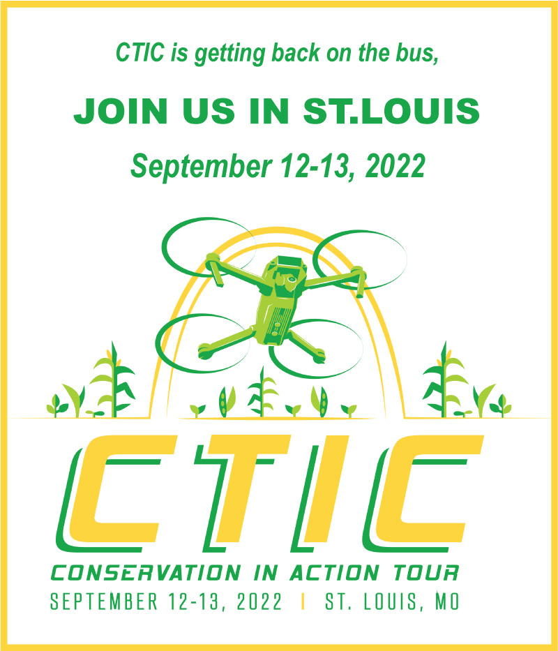
- CIA Tour (1)
- CIA Tours (3)
- CIA2022 (2)
- CIA2023 (1)
- CTIC Demo (1)
- CTIC Projects (6)
- CTIC Staff (1)
- Carbon (1)
- Conservation in Action NEWS (36)
- Conservation in Action Tour 2017 Abstract Author (4)
- Conservation in Action Tour 2017 Abstract CA (2)
- Conservation in Action Tour 2017 Abstract Reviewer (1)
- Conservation in Action Tour 2017 Abstract Submitter (1)
- Conservation in Action Tour 2017 Moderator (2)
- Conservation in Action Tour 2017 Registrant (1)
- Conservation (1)
- Conventional Agriculture (1)
- Cover Crop Report Announcement (2)
- Cover Crop Survey (1)
- Cover Crops (10)
- Current Projects Navigation (5)
- Data_Cropland (2)
- Data_Grassland (2)
- Demo_copy (1)
- ED Announcement (9)
- Email Blast (1)
- Environment (1)
- Environmental Management (5)
- Home Resource (4)
- Hypoxia (1)
- In the news (9)
- Indian Creek Watershed Project (6)
- Manure Management (4)
- Membership Drive 2018 (1)
- NARS National 2019 (1)
- NARS (6)
- News from CTIC (17)
- Nitrogen (1)
- No-Till (2)
- Nutrients (1)
- OpTIS Webinar Announcement (2)
- OpTIS (1)
- Organizations (3)
- PLUS-UP Newsletter (54)
- PLUSUP (6)
- Partners - NEW (11)
- Partners Magazine Article (2)
- Partners (1)
- Planner (6)
- Presentation (6)
- Press Release (8)
- Projects (10)
- Publication (3)
- Reminder 2022 (1)
- Research (1)
- Rivers, Streams (1)
- Software (2)
- Soil Management (2)
- Tillage (1)
- Tour 2021 - Video (2)
- Tour1 (1)
- Video (1)
- Watershed (1)
- Wetlands (1)
- Yield (3)
- agro-ecosystem (1)
- economic benefits (4)
- economic profitability (4)
- newsletter_cover_crops (1)
- newsletter_news_releases (1)
- on-farm research (1)
Filtered by : Manure Management
| Results4 articles found. |
|---|
Countdown Underway to the Launch of OpTIS DataApril marks the launch of the first data set from the Operational Tillage Information System (OpTIS), which combines satellite sensing technology with sophisticated modeling to map the adoption of conservation practices on the landscape. The 21st century heir to CTIC's long-time Crop Residue Management (CRM) Survey, OpTIS will provide comprehensive maps of crop residue management practices and cover crops down to the HUC8 scale. Annual maps and data—with the capability of tracking practices longitudinally over time—will be invaluable to researchers analyzing carbon sequestration, soil erosion, water quality and soil health. Policy makers can use ... |
OpTIS Projects header - 2024OpTIS Operational Tillage Information System Using Remote Sensing Data to Map Conservation Ag Practices |
Sorry!SORRY! I pushed the wrong button on our new website software and sent you some old news about last year's Conservation in Action Tour. (I'm still learning our way around the powerful new tools.) Please disregard our last email and watch for some exciting CTIC news in the days and weeks to come! Steve @ CTIC |
this has a linkasfdasdf |