CONNECT
We build coalitions that connect farmers, agribusinesses, researchers and policymakers to share information, take a closer look at issues and demonstrate systems.
We build coalitions that connect farmers, agribusinesses, researchers and policymakers to share information, take a closer look at issues and demonstrate systems.
CTIC has partnered since 2010 with Regrow and The Nature Conservancy on the development, testing and application of the Operational Tillage Information System (OpTIS), an automated system to map tillage, residue cover, winter cover, and soil health practices using remote sensing data. The latest version of the OpTIS data are available below for Croplands. With this latest update (April 2024), the partners are now also releasing analogous data for Grasslands. All pages include charts and maps to further enhance identification of trends and opportunities to promote the adoption of conservation practices. As with previous releases, all data are undergoing various forms of peer review and may be updated in the future.
Remote sensing-derived, CONUS-wide grassland metrics calculated from data spanning 2015–2021. The available data include soil carbon and GHG outcomes based on application of the DNDC model.
Learn More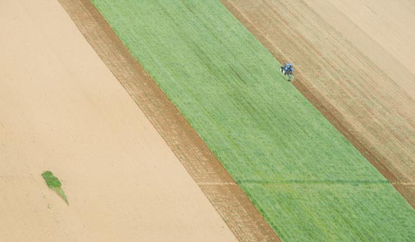
Log in for Data access to learn more.
Don't have an account? Sign up below with CTIC to learn more and view all the Croplands and Grasslands Data.
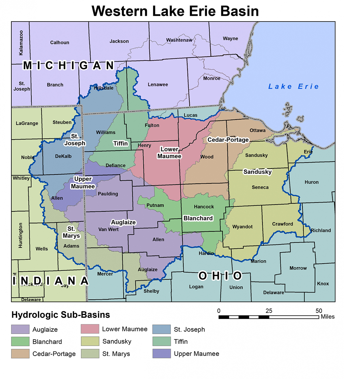
Log inCTIC is leading a new effort to pilot a phosphorus load reduction market in the Western Lake Erie Basin (Maumee, Sandusky, and Cedar-Portage watersheds, see map). Growers within the indicated watersheds are now being sought to participate in this pilot market.