Operational Tillage Information System (OpTIS)
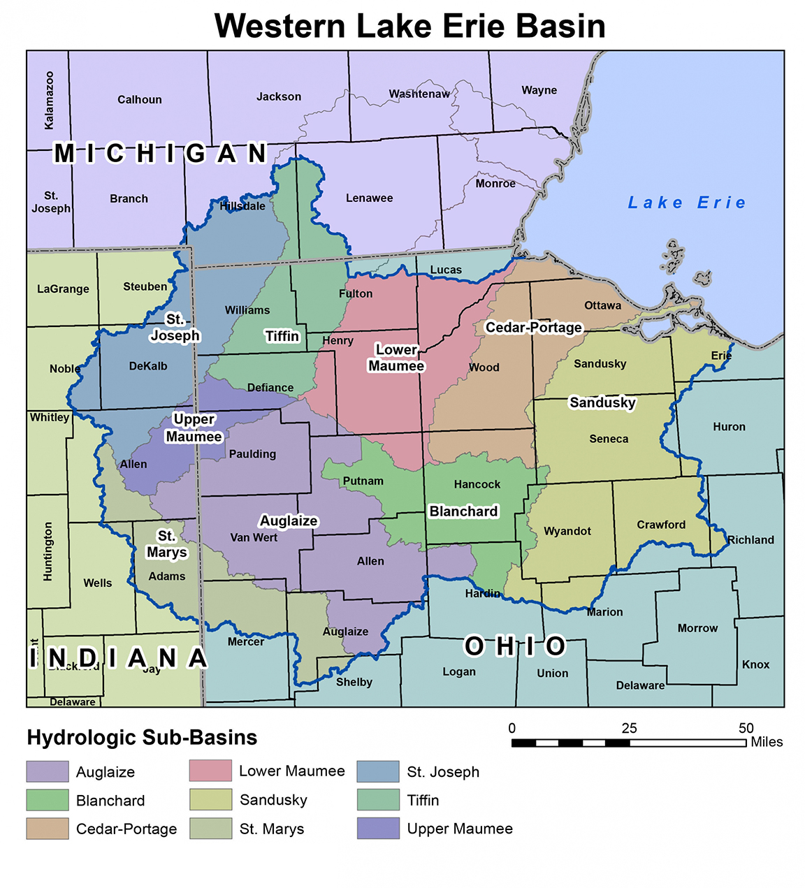
The Operational Tillage Information System (OpTIS) has been developed by Applied GeoSolutions (AGS) and the Conservation Technology Information Center (CTIC) as a method for the automated use of remote sensing (satellite-based) data to monitor conservation practices in agricultural systems, including various forms of reduced tillage and the planting of winter cover crops. While the OpTIS calculations are performed and validated at the farm-field scale, the privacy of individual producers is fully protected by distributing only spatially-aggregated results – at the county and watershed (8-digit HUC) scale.