Grasslands
Remote-sensing derived, CONUS-wide grassland data for various vegetation type and health metrics, as well as soil and GHG outcomes based on the use of these data as input to the DNDC model. Data are currently available for the years 2015-2021. The vegetation health data are available at the watershed (HUC8) and Crop Reporting District (CRD) geographic scales. The grasslands DNDC modeling results are available at the US EPA Level 3 Ecoregion scale.
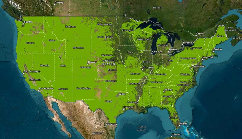
Green areas in the map above represent pixels used for generating the grassland metrics.